

Cartographic Work
Within a few weeks of watching the demolition of the St. Denis Hotel building outside my apartment window during lockdown, I started to wonder why it wasn't historically preserved, and how they were permitted to demolish a building during COVID lockdown. From this, a modest interest quickly snowballed into a new passion in urban planning and land use. I spent and continue to spend free time self-teaching GIS and mapping software, along with absorbing local zoning practices and community needs. This page shows a handful of my projects, in various stages, all using a variety of GIS and mapping software. All projects use OpenData (ESRI, USGS, etc. sources available).


01
Hillshades and DEMs
Shaded relief and digital elevation maps. Made using a combination of ArcGIS, QGIS, and Illustrator.
02
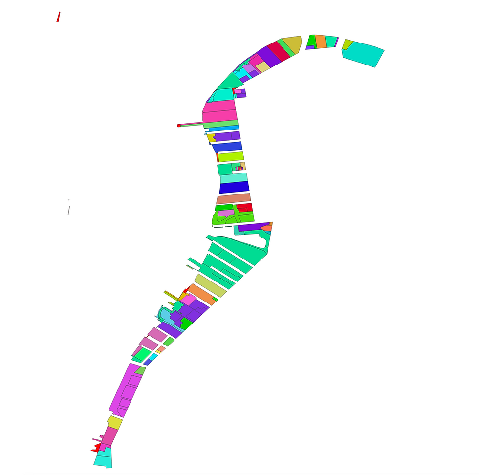
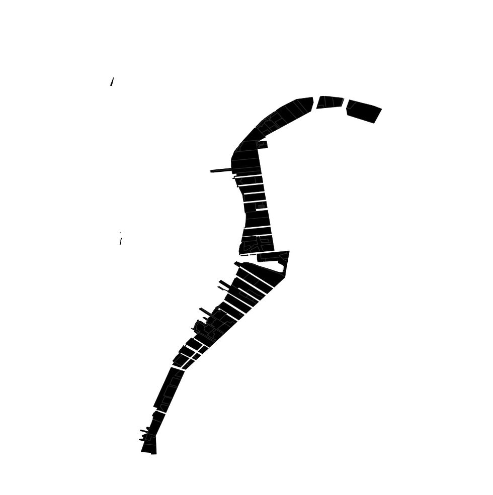
Made with QGIS.
*Add tweets and engagement and parcel labels
Name. That. Waterfront! (Social Media Game)

Describe your image


03
Heat Maps, Land Use Demonstrations, Renderings, and More
What is here?
04
Union Square Shadow Study
Describe finding the ERROR in NYC GOV EAS


